By Dan Macon
As I write this post, the first few drops of rain are falling on our part of the Sierra foothills since early October. Here in Auburn, those early autumn rains were enough to green up our annual rangeland; other parts of the foothills and Sacramento Valley weren't so fortunate. And even the areas that experienced germination have since seen most of this new grass wither in the prolonged dry period since those first storms. For some of us, the word “drought” has crept back into our vocabulary – we have a long way to go in our rainy season, but the lack of fall feed and stock water is a concern for many.
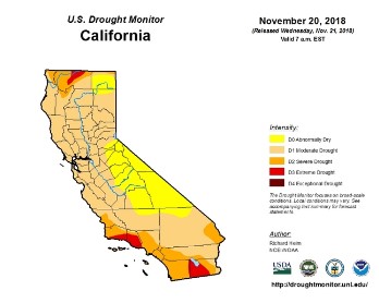
Thanks to the leadership of Dr. Leslie Roche, our UC Cooperative Extension Specialist for rangeland management at UC Davis, county range and livestock advisors and other range professionals are reporting local conditions to the U.S. Drought Monitor on a monthly basis during the fall, winter and spring. Based on local observations, formal measurements of forage production, and reports from ranchers, these monthly updates bring greater resolution – and more on-the-ground perspectives – to the U.S. Drought Monitor's weekly drought reports and longer-term drought forecasts. A comparison of last week's California drought map (top) with this week's map reflects our most recent report!
Individuals can also report on drought conditions directly! One of the easiest ways to regularly report on precipitation is to join the Community Collaborative Rain, Hail & Snow Network (COCORAHS - https://www.cocorahs.org/). I've been a member of this network for 3 or 4 years. Using the COCORAHS rain gauge (which provides an accurate and standardized measurement), I simply report precipitation when it occurs by using the network's phone app. Using the app, I can also view nearby precipitation amounts on county and regional maps. These measurements are automatically shared with the Drought Monitor, providing real-time information about local precipitation across the U.S. The rain gauges are $31.50 and are easy to install. If you're in Placer or Nevada Counties, we have a limited supply of rain gauges available to farmers and ranchers who sign up to be COCORAHS reporters. Contact me at dmacon@ucanr.edu for details!
The National Drought Mitigation Center has also developed a new report form that allows users to enter site-specific conditions like precipitation, creek and spring flow, forage conditions, livestock impacts, and other drought-related effects. While our network of advisors and rangeland professionals is providing monthly input via this report, individual farmers and ranchers can also report conditions directly at
https://survey123.arcgis.com/share/49e1807892e143b5b8256e0128cf3ddb.
While quantitative data is important (like precipitation amounts, pounds of forage production per acre, soil moisture and temperature, etc.), qualitative data is also critical to informing the Drought Monitor. For example, if your creeks are typically flowing by Thanksgiving, but are not flowing this year, report that fact! If you've noted that the early germinated grass has since died, report that as well! Each data point, whether quantitative or qualitative, improves the resolution of the weekly drought maps!
Finally, the UC Rangelands website has an outstanding Rangeland Drought Information Hub, with links to the Drought Impacts Reporter and Drought Monitor, weather and climate information, our Voices from the Drought audio archive, and research-based information on preparing for and responding to drought conditions.